

Field NotesAdventure Storytelling Media
The shoreline moves every year
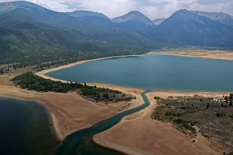
Late summer under Independence Pass, where the sandbars are the reservoir working.
Lake County, Colorado · 2026.08.08
 Aerial work licensed through Amazing Aerial Agency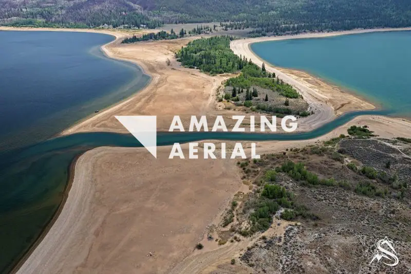
Twin Lakes sits at about 9,200 feet in Lake County, at the eastern foot of Independence Pass. The lakes are glacial; dams later turned them into working storage for the Fryingpan-Arkansas Project, and a tunnel carries part of that water under the divide to the Front Range.
So the pale flats in these frames are the reservoir doing its job, not a lake disappearing. Storage fills on snowmelt and draws down through the summer as water goes downstream. In mid-August 2026 Twin Lakes held about 92,000 acre-feet — roughly 91% of normal for the date. A little dry. Not a story.
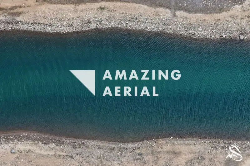
What the low water leaves behind is the reason to fly it: a sandbar splitting two arms of the lake, a channel running turquoise between them, and a shelf of rippled sand you only see from above.