
Field NotesAdventure Storytelling Media
The mountain that measures everyone
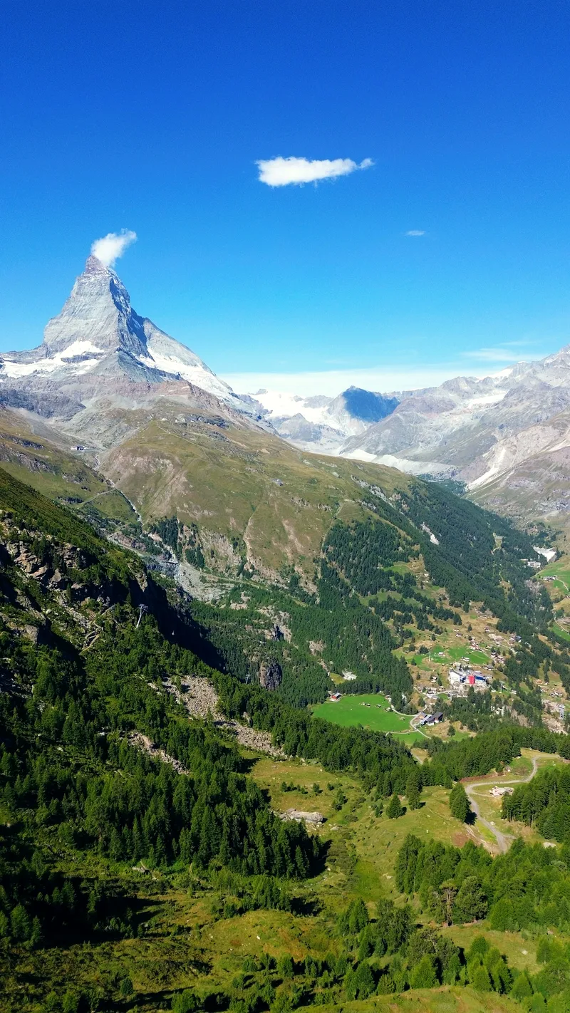
Shot above a car-free village at 1,620 metres, beneath the 4,478-metre pyramid that closes the valley.
Zermatt, Switzerland · 2023.08.14
 Aerial work licensed through Amazing Aerial Agency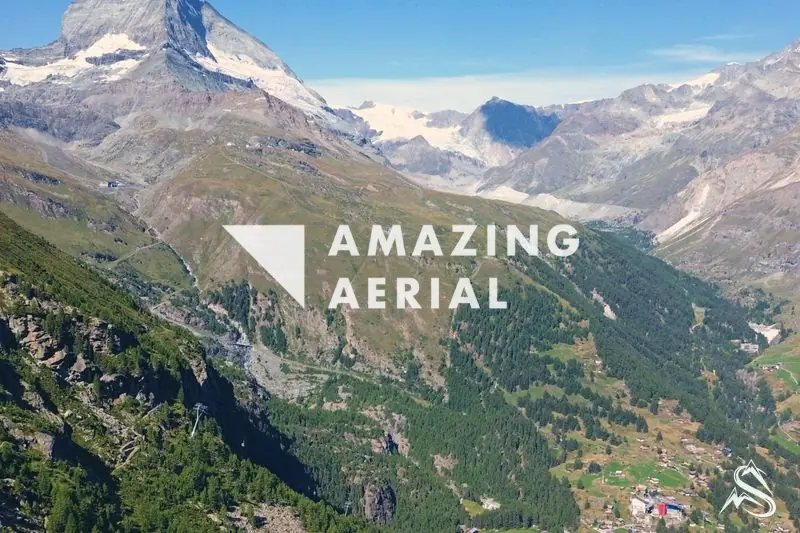
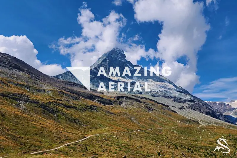
I flew this above Zermatt in August 2023. From the air the valley floor reads narrow: the village packed along the Matter Vispa, larch slopes climbing steeply on either side, a single cable-car line drawn up through the green. The Matterhorn stands at the head of it, 4,478 metres, the last thing the valley points at.
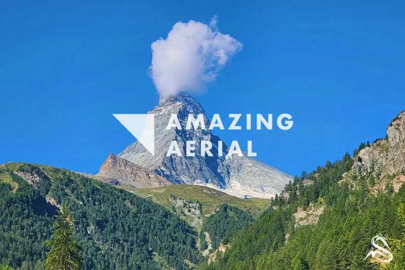
Up close the mountain is nearly geometric — a symmetric pyramid with four faces, each turned toward a point of the compass. The summit ridge carries the border: three faces fall into Switzerland, the south face drops into Italy, where the peak is called Cervino. It is one of the highest summits of the Pennine Alps, and from most angles it stands alone.
The town below runs no cars. Zermatt is car-free by law. Private vehicles stop at Täsch, five kilometres down-valley, and a shuttle train covers the last stretch; inside the village only small electric taxis and service carts move. The floor sits at 1,620 metres, so the mountain rises close to 2,900 metres above the rooftops.
The peak was first climbed on 14 July 1865, by a party under Edward Whymper along the Hörnli ridge. Four of the seven died on the descent when the rope broke — the accident that closed the golden age of alpinism. None of that reads from the air. In August the summit makes its own weather: cloud builds off the ridge in the afternoon and slides clear, which is the frame I waited for.